The Practical Guide to Driving the Trans-Canada
7,821 km from St. John's, Newfoundland to Victoria, British Columbia. Real routes, real distances, real advice from people who have driven it.
Drive It Region by Region
The Trans-Canada crosses six provinces and every landscape Canada has to offer. Choose your section.
Popular Route Segments
Detailed guides for the most-driven sections of the Trans-Canada
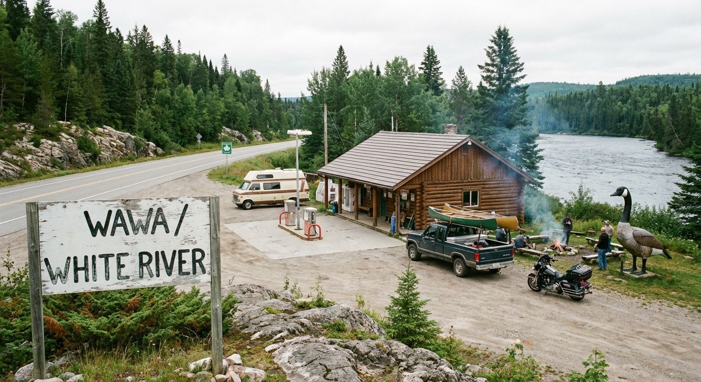
Sault Ste. Marie to Thunder Bay
700 km of the most remote highway driving in Ontario. Lake Superior views, moose country, and limited services. The stretch everyone talks about.
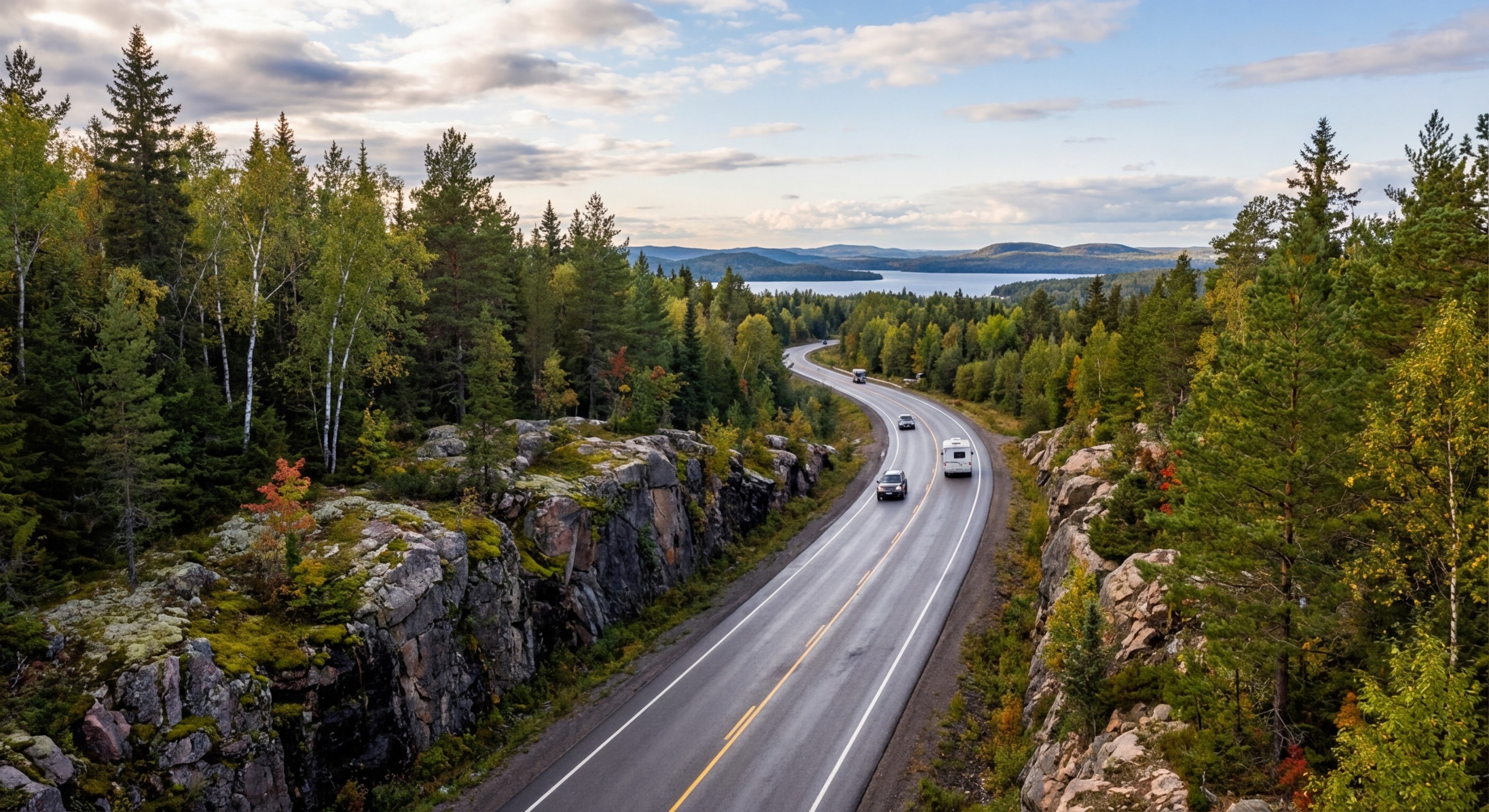
Thunder Bay to Winnipeg
The final push through Ontario's northwest and into the prairies. 700 km through boreal forest with the landscape flattening as you cross into Manitoba.
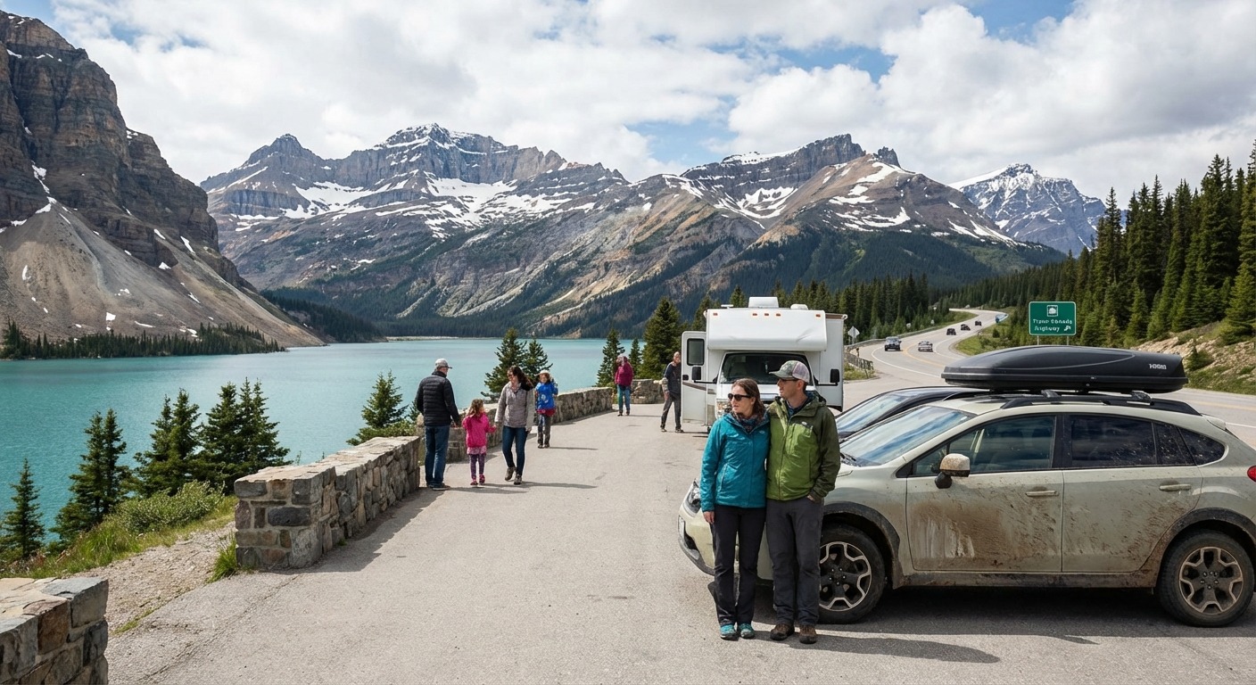
Calgary to Banff
The dramatic transition from prairie to mountains. 130 km of divided highway climbing into the Rockies through Kananaskis country.
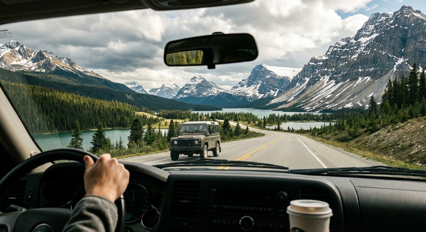
Banff to Kamloops
Over Rogers Pass through Glacier National Park. 480 km of mountain highway with 135 avalanche paths and some of the most dramatic scenery on the route.
Plan Your Drive
Practical guides for the things that matter most on the Trans-Canada
Highway Safety
Moose collisions, fatigue, single-lane hazards, and BC mountain driving.
Read Guide →Weather by Region
Lake effect snow, prairie blizzards, mountain passes, and Atlantic fog.
Read Guide →What to Pack
Emergency kits, winter gear, food for remote stretches, and satellite messengers.
Read Guide →Trans-Canada Highway at a Glance
The Trans-Canada Highway is the longest national highway in the world. Completed in 1962 and officially opened in 1971 after the last section was paved in Rogers Pass, it connects 10 provinces from coast to coast. It is not a single road but a system of provincial highways designated as part of the Trans-Canada route.
Driving the full route takes a minimum of two weeks, though three to four weeks allows for proper sightseeing and rest. Budget 400 km per day as a comfortable target, and never skip a fuel stop in remote sections.